The Institut Cartogràfic i Geogràfic de les Illes Balears (ICGIB) has published the new official aerial photograph of the Balearic Islands, made from 4,461 aerial images taken between 29 March and 9 May 2023.
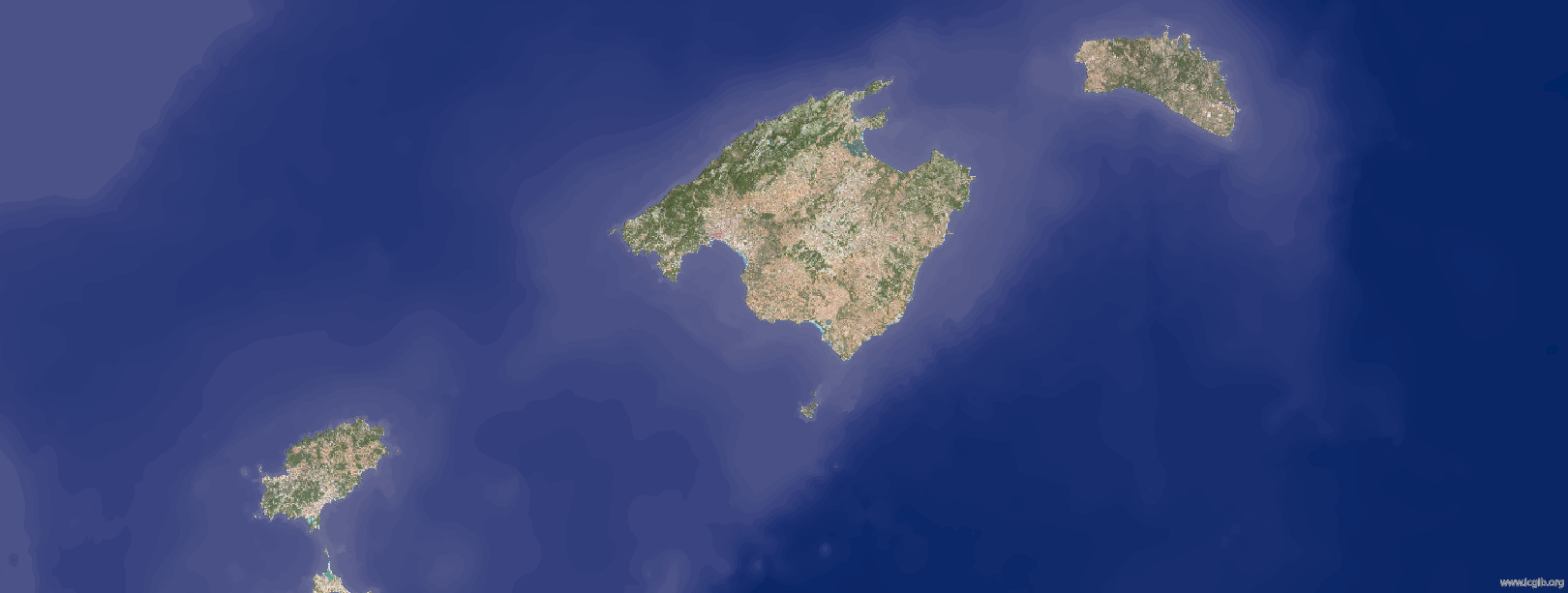
In order to provide current and continuous geographical information on the Balearic Islands, the ICGIB offers a map service that shows a continuous mosaic made with 795 orthophotographs issued for all the islands that can be consulted through this link: https://ideib.caib.es/visor/.
Orthophotography is the photographic representation of an area of the Earth’s surface, in which all the elements are on the same scale, free of errors and deformations, with the same validity as a cartographic plan. The orthophotography has been produced at a resolution of 15 centimetres per pixel.
For further details of the orthophotography, please consult the IDEIB catalogue (http://ideib.caib.es/cataleg/srv/cat/catalog.search#/metadata/a23af659-d87e-41ad-b815-2def84418a25).


Leave A Comment